
拉伯乡 topographic map
Interactive map
Click on the map to display elevation.
About this map
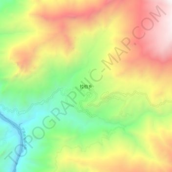
Name: 拉伯乡 topographic map, elevation, terrain.
Location: 拉伯乡, 丽江市, 云南省, 中国 (27.70745 100.40739 27.78745 100.48739)
Average elevation: 8,661 ft
Minimum elevation: 4,820 ft
Maximum elevation: 13,484 ft
Other topographic maps
Click on a map to view its topography, its elevation and its terrain.