
白沙镇 topographic map
Interactive map
Click on the map to display elevation.
About this map
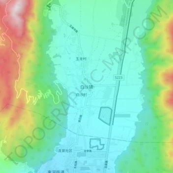
Name: 白沙镇 topographic map, elevation, terrain.
Location: 白沙镇, 丽江市, 云南省, 中国 (26.91719 100.17720 26.99719 100.25720)
Average elevation: 8,816 ft
Minimum elevation: 7,976 ft
Maximum elevation: 11,398 ft
Other topographic maps
Click on a map to view its topography, its elevation and its terrain.