
烂泥箐乡 topographic map
Interactive map
Click on the map to display elevation.
About this map
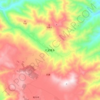
Name: 烂泥箐乡 topographic map, elevation, terrain.
Location: 烂泥箐乡, 丽江市, 云南省, 中国 (27.18355 100.93913 27.26355 101.01913)
Average elevation: 10,141 ft
Minimum elevation: 8,396 ft
Maximum elevation: 11,542 ft
Other topographic maps
Click on a map to view its topography, its elevation and its terrain.