
老厂乡 topographic map
Interactive map
Click on the map to display elevation.
About this map
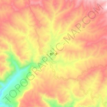
Name: 老厂乡 topographic map, elevation, terrain.
Location: 老厂乡, 玉溪市, 云南省, 中国 (24.13522 101.64308 24.21522 101.72308)
Average elevation: 5,318 ft
Minimum elevation: 3,209 ft
Maximum elevation: 6,877 ft
Other topographic maps
Click on a map to view its topography, its elevation and its terrain.