
大营街街道 topographic map
Interactive map
Click on the map to display elevation.
About this map
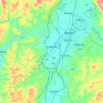
Name: 大营街街道 topographic map, elevation, terrain.
Location: 大营街街道, 红塔区, 玉溪市, 云南省, 中国 (24.23132 102.40013 24.42722 102.51674)
Average elevation: 5,886 ft
Minimum elevation: 5,210 ft
Maximum elevation: 7,854 ft
Other topographic maps
Click on a map to view its topography, its elevation and its terrain.