
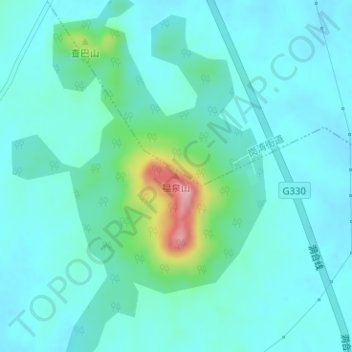
福泉山 topographic map
Interactive map
Click on the map to display elevation.
About this map
Name: 福泉山 topographic map, elevation, terrain.
Location: 福泉山, 合肥市, 安徽省, 中国 (31.18039 117.26690 31.18049 117.26700)
Average elevation: 131 ft
Minimum elevation: 43 ft
Maximum elevation: 564 ft
Other topographic maps
Click on a map to view its topography, its elevation and its terrain.