
永桥 topographic map
Interactive map
Click on the map to display elevation.
About this map
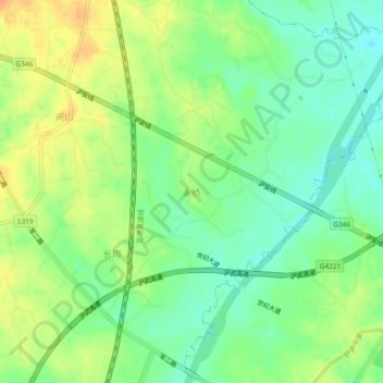
Name: 永桥 topographic map, elevation, terrain.
Location: 永桥, 合肥市, 安徽省, 中国 (31.28466 117.20738 31.32466 117.24738)
Average elevation: 89 ft
Minimum elevation: 30 ft
Maximum elevation: 157 ft
Other topographic maps
Click on a map to view its topography, its elevation and its terrain.