
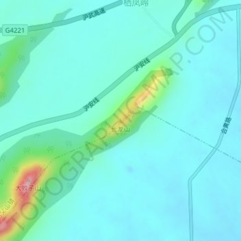
长龙山 topographic map
Interactive map
Click on the map to display elevation.
About this map
Name: 长龙山 topographic map, elevation, terrain.
Location: 长龙山, 合肥市, 安徽省, 中国 (31.31963 117.40364 31.31973 117.40374)
Average elevation: 144 ft
Minimum elevation: 39 ft
Maximum elevation: 712 ft
Other topographic maps
Click on a map to view its topography, its elevation and its terrain.