
紫蓬山 topographic map
Interactive map
Click on the map to display elevation.
About this map
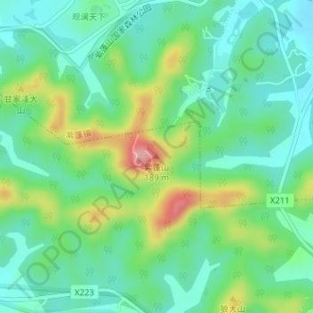
Name: 紫蓬山 topographic map, elevation, terrain.
Location: 紫蓬山, 合肥市, 安徽省, 中国 (31.71586 117.00282 31.71596 117.00292)
Average elevation: 302 ft
Minimum elevation: 161 ft
Maximum elevation: 623 ft
Other topographic maps
Click on a map to view its topography, its elevation and its terrain.