
上派镇 topographic map
Interactive map
Click on the map to display elevation.
About this map
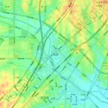
Name: 上派镇 topographic map, elevation, terrain.
Location: 上派镇, 合肥市, 安徽省, 中国 (31.70116 117.12071 31.78116 117.20071)
Average elevation: 72 ft
Minimum elevation: 23 ft
Maximum elevation: 144 ft
Other topographic maps
Click on a map to view its topography, its elevation and its terrain.