
鸡鸣山 topographic map
Interactive map
Click on the map to display elevation.
About this map
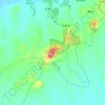
Name: 鸡鸣山 topographic map, elevation, terrain.
Location: 鸡鸣山, 合肥市, 安徽省, 中国 (31.64203 117.49904 31.64213 117.49914)
Average elevation: 121 ft
Minimum elevation: 49 ft
Maximum elevation: 308 ft
Other topographic maps
Click on a map to view its topography, its elevation and its terrain.