
太华 topographic map
Interactive map
Click on the map to display elevation.
About this map
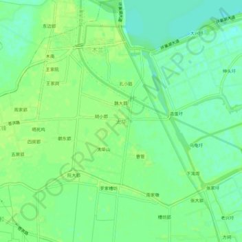
Name: 太华 topographic map, elevation, terrain.
Location: 太华, 合肥市, 安徽省, 中国 (31.54816 117.27502 31.58816 117.31502)
Average elevation: 30 ft
Minimum elevation: 3 ft
Maximum elevation: 46 ft
Other topographic maps
Click on a map to view its topography, its elevation and its terrain.