
塔村 topographic map
Interactive map
Click on the map to display elevation.
About this map
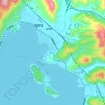
Name: 塔村 topographic map, elevation, terrain.
Location: 塔村, 大理市, 大理白族自治州, 云南省, 中国 (25.68664 100.24044 25.72664 100.28044)
Average elevation: 6,575 ft
Minimum elevation: 6,430 ft
Maximum elevation: 7,316 ft
Other topographic maps
Click on a map to view its topography, its elevation and its terrain.