
豹子山 topographic map
Interactive map
Click on the map to display elevation.
About this map
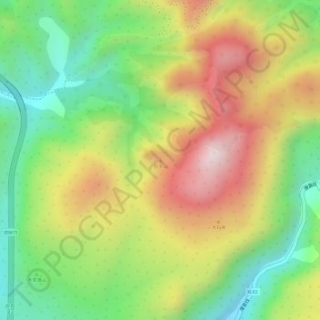
Name: 豹子山 topographic map, elevation, terrain.
Location: 豹子山, 大理市, 大理白族自治州, 云南省, 中国 (25.87643 100.24372 25.87653 100.24382)
Average elevation: 7,444 ft
Minimum elevation: 6,660 ft
Maximum elevation: 8,287 ft
Other topographic maps
Click on a map to view its topography, its elevation and its terrain.