
麻章区 topographic map
Interactive map
Click on the map to display elevation.
About this map
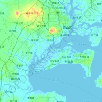
Name: 麻章区 topographic map, elevation, terrain.
Location: 麻章区, 湛江市, 广东省, 524268, 中国 (20.80362 110.11720 21.32724 110.70837)
Average elevation: 46 ft
Minimum elevation: -13 ft
Maximum elevation: 745 ft
Other topographic maps
Click on a map to view its topography, its elevation and its terrain.