
塘尾街道 topographic map
Interactive map
Click on the map to display elevation.
About this map
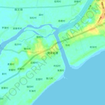
Name: 塘尾街道 topographic map, elevation, terrain.
Location: 塘尾街道, 湛江市, 广东省, 中国 (21.35505 110.69330 21.43505 110.77330)
Average elevation: 20 ft
Minimum elevation: -7 ft
Maximum elevation: 98 ft
Other topographic maps
Click on a map to view its topography, its elevation and its terrain.