
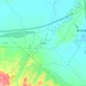
东纯村 topographic map
Interactive map
Click on the map to display elevation.
About this map
Name: 东纯村 topographic map, elevation, terrain.
Location: 东纯村, 湛江市, 广东省, 中国 (21.18215 110.30608 21.22215 110.34608)
Average elevation: 135 ft
Minimum elevation: 49 ft
Maximum elevation: 420 ft
Other topographic maps
Click on a map to view its topography, its elevation and its terrain.