
千阳县 topographic map
Interactive map
Click on the map to display elevation.
About this map
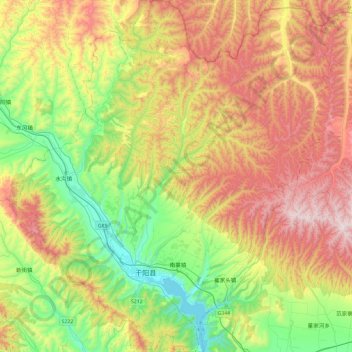
Name: 千阳县 topographic map, elevation, terrain.
Location: 千阳县, 宝鸡市, 陕西省, 中国 (34.55561 106.94419 34.94714 107.37893)
Average elevation: 3,615 ft
Minimum elevation: 2,303 ft
Maximum elevation: 5,420 ft
Other topographic maps
Click on a map to view its topography, its elevation and its terrain.