
渭滨区 topographic map
Interactive map
Click on the map to display elevation.
About this map
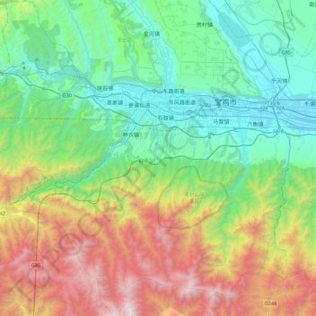
Name: 渭滨区 topographic map, elevation, terrain.
Location: 渭滨区, 宝鸡市, 陕西省, 中国 (34.12118 106.89574 34.47844 107.32219)
Average elevation: 4,055 ft
Minimum elevation: 1,775 ft
Maximum elevation: 9,186 ft
Other topographic maps
Click on a map to view its topography, its elevation and its terrain.