
北郭 topographic map
Interactive map
Click on the map to display elevation.
About this map
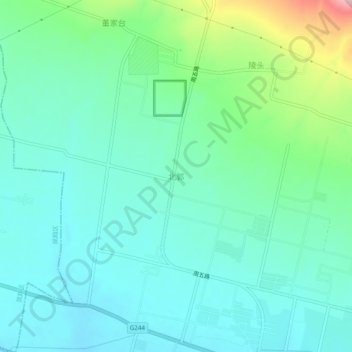
Name: 北郭 topographic map, elevation, terrain.
Location: 北郭, 宝鸡市, 陕西省, 中国 (34.44986 107.57571 34.48986 107.61571)
Average elevation: 2,352 ft
Minimum elevation: 2,205 ft
Maximum elevation: 2,851 ft
Other topographic maps
Click on a map to view its topography, its elevation and its terrain.