
tai gong topographic map
Interactive map
Click on the map to display elevation.
About this map
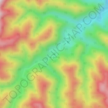
Name: tai gong topographic map, elevation, terrain.
Location: tai gong, 宝鸡市, 陕西省, 中国 (34.25083 107.36488 34.25093 107.36498)
Average elevation: 3,451 ft
Minimum elevation: 2,625 ft
Maximum elevation: 4,357 ft
Other topographic maps
Click on a map to view its topography, its elevation and its terrain.