
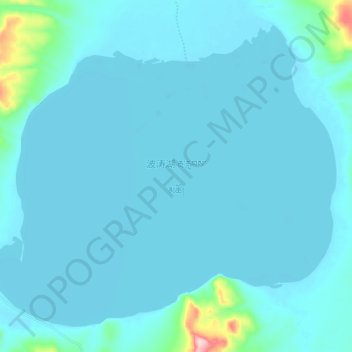
波涛湖 topographic map
Interactive map
Click on the map to display elevation.
About this map
Name: 波涛湖 topographic map, elevation, terrain.
Location: 波涛湖, 安多县, 那曲市, 西藏自治区, 中国 (33.97325 89.89200 34.05759 90.01065)
Average elevation: 16,417 ft
Minimum elevation: 16,358 ft
Maximum elevation: 17,142 ft
Other topographic maps
Click on a map to view its topography, its elevation and its terrain.