
措玛乡 topographic map
Interactive map
Click on the map to display elevation.
About this map
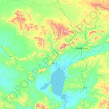
Name: 措玛乡 topographic map, elevation, terrain.
Location: 措玛乡, 安多县, 那曲市, 西藏自治区, 中国 (31.83237 90.81146 32.60744 91.70653)
Average elevation: 15,810 ft
Minimum elevation: 15,036 ft
Maximum elevation: 18,527 ft
Other topographic maps
Click on a map to view its topography, its elevation and its terrain.