
滩堆乡 topographic map
Interactive map
Click on the map to display elevation.
About this map
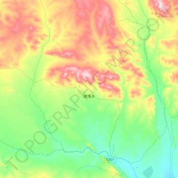
Name: 滩堆乡 topographic map, elevation, terrain.
Location: 滩堆乡, 安多县, 那曲市, 西藏自治区, 中国 (32.16499 92.01006 32.39708 92.33837)
Average elevation: 15,686 ft
Minimum elevation: 15,082 ft
Maximum elevation: 16,781 ft
Other topographic maps
Click on a map to view its topography, its elevation and its terrain.