
茶木错 topographic map
Interactive map
Click on the map to display elevation.
About this map
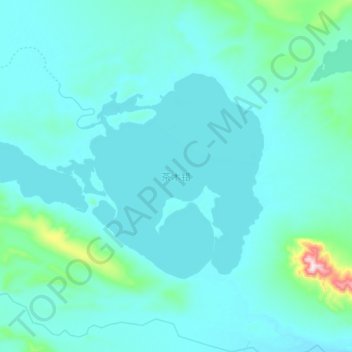
Name: 茶木错 topographic map, elevation, terrain.
Location: 茶木错, 安多县, 那曲市, 西藏自治区, 中国 (34.29675 91.46850 34.38475 91.65075)
Average elevation: 15,440 ft
Minimum elevation: 15,302 ft
Maximum elevation: 16,775 ft
Other topographic maps
Click on a map to view its topography, its elevation and its terrain.