
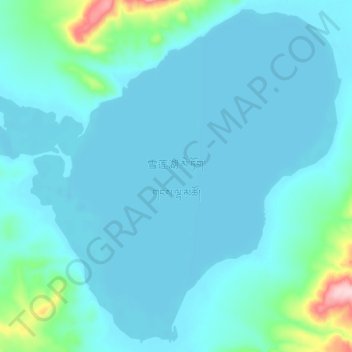
雪莲湖 topographic map
Interactive map
Click on the map to display elevation.
About this map
Name: 雪莲湖 topographic map, elevation, terrain.
Location: 雪莲湖, 安多县, 那曲市, 西藏自治区, 中国 (34.04725 90.19750 34.13400 90.30775)
Average elevation: 17,395 ft
Minimum elevation: 17,306 ft
Maximum elevation: 18,100 ft
Other topographic maps
Click on a map to view its topography, its elevation and its terrain.