
Trollstigen topographic map
Interactive map
Click on the map to display elevation.
About this map
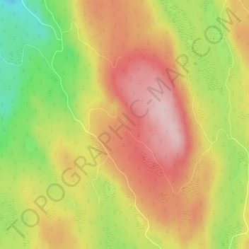
Name: Trollstigen topographic map, elevation, terrain.
Location: Trollstigen, Søndre Land, Innlandet, Norvège (60.59064 10.40526 60.59074 10.40536)
Average elevation: 1,506 ft
Minimum elevation: 1,076 ft
Maximum elevation: 1,834 ft
Other topographic maps
Click on a map to view its topography, its elevation and its terrain.
Viewpoint Snøhetta
Viewpoint Snøhetta, Vålåsjøhøvegen, Dovre, Innlandet, 2661, Norvège
Average elevation: 3,796 ft