
Gausdal topographic map
Interactive map
Click on the map to display elevation.
About this map
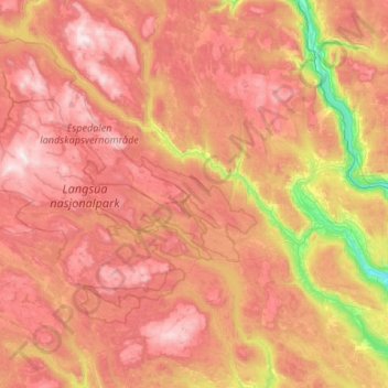
Name: Gausdal topographic map, elevation, terrain.
Location: Gausdal, Innlandet, Norvège (61.10745 9.30087 61.42102 10.36765)
Average elevation: 2,792 ft
Minimum elevation: 430 ft
Maximum elevation: 5,072 ft
Other topographic maps
Click on a map to view its topography, its elevation and its terrain.
Trollstigen
Trollstigen, Søndre Land, Innlandet, Norvège
Average elevation: 1,506 ft
Viewpoint Snøhetta
Viewpoint Snøhetta, Vålåsjøhøvegen, Dovre, Innlandet, 2661, Norvège
Average elevation: 3,796 ft