
Fosnes topographic map
Interactive map
Click on the map to display elevation.
About this map
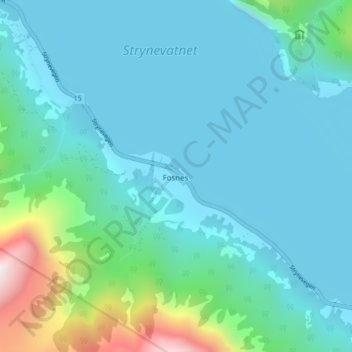
Name: Fosnes topographic map, elevation, terrain.
Location: Fosnes, Stryn, Vestland, 6799, Norway (61.88868 7.03556 61.92868 7.07556)
Average elevation: 764 ft
Minimum elevation: 92 ft
Maximum elevation: 4,321 ft
Other topographic maps
Click on a map to view its topography, its elevation and its terrain.