
Sunnfjord topographic map
Interactive map
Click on the map to display elevation.
About this map
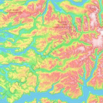
Name: Sunnfjord topographic map, elevation, terrain.
Location: Sunnfjord, Vestland, Norway (61.23469 5.25815 61.70169 6.85431)
Average elevation: 1,900 ft
Minimum elevation: -3 ft
Maximum elevation: 5,928 ft
Other topographic maps
Click on a map to view its topography, its elevation and its terrain.