
奔子栏镇 topographic map
Interactive map
Click on the map to display elevation.
About this map
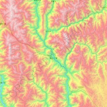
Name: 奔子栏镇 topographic map, elevation, terrain.
Location: 奔子栏镇, 德钦县, 迪庆藏族自治州, 云南省, 中国 (27.91629 98.96952 28.62328 99.41318)
Average elevation: 11,811 ft
Minimum elevation: 6,089 ft
Maximum elevation: 17,690 ft
Other topographic maps
Click on a map to view its topography, its elevation and its terrain.