
云岭乡 topographic map
Interactive map
Click on the map to display elevation.
About this map
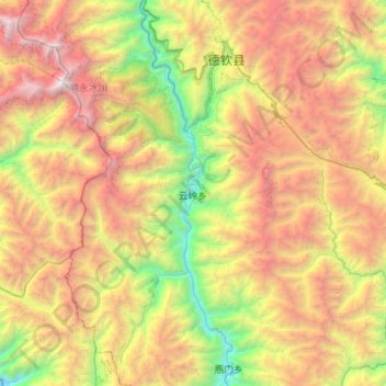
Name: 云岭乡 topographic map, elevation, terrain.
Location: 云岭乡, 德钦县, 迪庆藏族自治州, 云南省, 中国 (28.05733 98.67342 28.54105 99.03808)
Average elevation: 12,680 ft
Minimum elevation: 6,148 ft
Maximum elevation: 21,788 ft
Other topographic maps
Click on a map to view its topography, its elevation and its terrain.