
开鲁县 topographic map
Interactive map
Click on the map to display elevation.
About this map
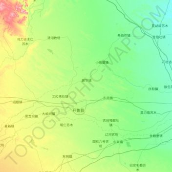
Name: 开鲁县 topographic map, elevation, terrain.
Location: 开鲁县, 通辽市, 内蒙古自治区, 中国 (43.30888 120.41889 44.15871 121.85818)
Average elevation: 781 ft
Minimum elevation: 568 ft
Maximum elevation: 1,716 ft
Other topographic maps
Click on a map to view its topography, its elevation and its terrain.