
施介街道 topographic map
Interactive map
Click on the map to display elevation.
About this map
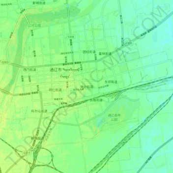
Name: 施介街道 topographic map, elevation, terrain.
Location: 施介街道, 通辽市, 内蒙古自治区, 028000, 中国 (43.57010 122.23415 43.65010 122.31415)
Average elevation: 591 ft
Minimum elevation: 568 ft
Maximum elevation: 610 ft
Other topographic maps
Click on a map to view its topography, its elevation and its terrain.