
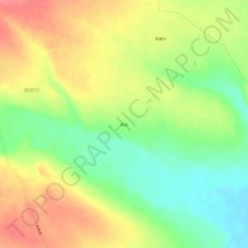
哈达 topographic map
Interactive map
Click on the map to display elevation.
About this map
Name: 哈达 topographic map, elevation, terrain.
Location: 哈达, 奈曼旗, 通辽市, 内蒙古自治区, 中国 (42.38631 120.77924 42.42631 120.81924)
Average elevation: 1,211 ft
Minimum elevation: 1,093 ft
Maximum elevation: 1,329 ft
Other topographic maps
Click on a map to view its topography, its elevation and its terrain.