
东关村 topographic map
Interactive map
Click on the map to display elevation.
About this map
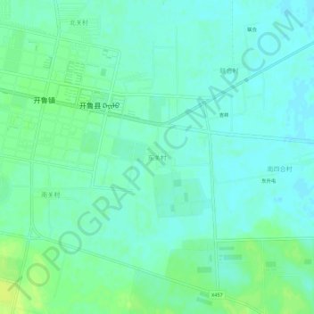
Name: 东关村 topographic map, elevation, terrain.
Location: 东关村, 通辽市, 内蒙古自治区, 中国 (43.57152 121.30323 43.61152 121.34323)
Average elevation: 794 ft
Minimum elevation: 774 ft
Maximum elevation: 823 ft
Other topographic maps
Click on a map to view its topography, its elevation and its terrain.