
辽河镇 topographic map
Interactive map
Click on the map to display elevation.
About this map
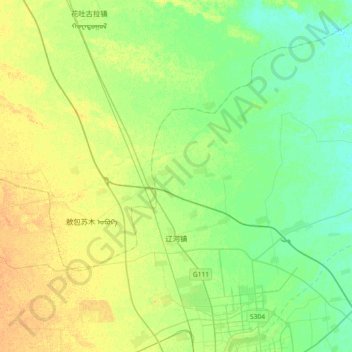
Name: 辽河镇 topographic map, elevation, terrain.
Location: 辽河镇, 科尔沁区, 通辽市, 内蒙古自治区, 中国 (43.63350 122.05589 43.89614 122.39822)
Average elevation: 594 ft
Minimum elevation: 558 ft
Maximum elevation: 640 ft
Other topographic maps
Click on a map to view its topography, its elevation and its terrain.