
大湾镇 topographic map
Interactive map
Click on the map to display elevation.
About this map
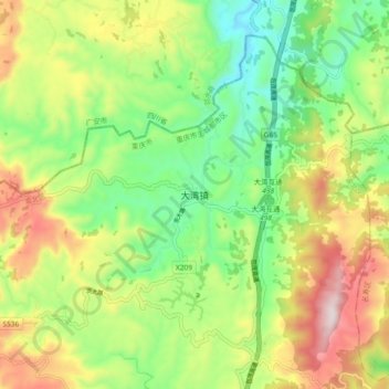
Name: 大湾镇 topographic map, elevation, terrain.
Location: 大湾镇, 渝北区, 重庆市, 中国 (29.97957 106.78049 30.05957 106.86049)
Average elevation: 1,558 ft
Minimum elevation: 758 ft
Maximum elevation: 2,743 ft
Other topographic maps
Click on a map to view its topography, its elevation and its terrain.