
古路镇 topographic map
Interactive map
Click on the map to display elevation.
About this map
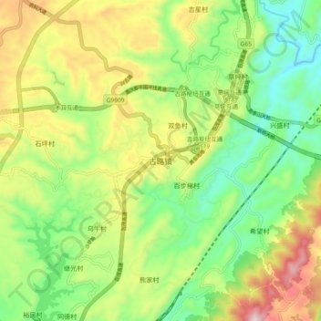
Name: 古路镇 topographic map, elevation, terrain.
Location: 古路镇, 渝北区, 重庆市, 中国 (29.79886 106.70260 29.87886 106.78260)
Average elevation: 1,424 ft
Minimum elevation: 692 ft
Maximum elevation: 2,556 ft
Other topographic maps
Click on a map to view its topography, its elevation and its terrain.