
新合村 topographic map
Interactive map
Click on the map to display elevation.
About this map
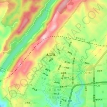
Name: 新合村 topographic map, elevation, terrain.
Location: 新合村, 渝北区, 重庆市, 中国 (29.78503 106.62506 29.82503 106.66506)
Average elevation: 1,289 ft
Minimum elevation: 804 ft
Maximum elevation: 1,808 ft
Other topographic maps
Click on a map to view its topography, its elevation and its terrain.