
花卉园 topographic map
Interactive map
Click on the map to display elevation.
About this map
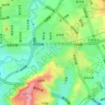
Name: 花卉园 topographic map, elevation, terrain.
Location: 花卉园, 渝北区, 江北区, 重庆市, 中国 (29.58176 106.50800 29.58589 106.51307)
Average elevation: 958 ft
Minimum elevation: 761 ft
Maximum elevation: 1,299 ft
Other topographic maps
Click on a map to view its topography, its elevation and its terrain.