
仙桃街道 topographic map
Interactive map
Click on the map to display elevation.
About this map
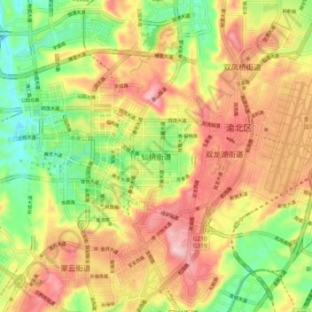
Name: 仙桃街道 topographic map, elevation, terrain.
Location: 仙桃街道, 渝北区, 重庆市主城都市区, 重庆市, 401120, 中国 (29.67424 106.56288 29.75424 106.64288)
Average elevation: 1,211 ft
Minimum elevation: 741 ft
Maximum elevation: 1,680 ft
Other topographic maps
Click on a map to view its topography, its elevation and its terrain.