
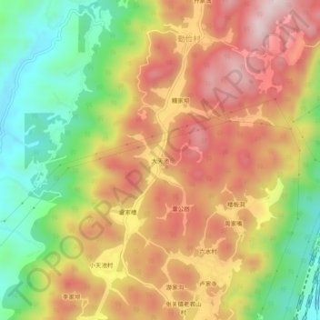
大天池 topographic map
Interactive map
Click on the map to display elevation.
About this map
Name: 大天池 topographic map, elevation, terrain.
Location: 大天池, 渝北区, 重庆市, 中国 (29.79270 106.89922 29.83270 106.93922)
Average elevation: 1,585 ft
Minimum elevation: 751 ft
Maximum elevation: 2,356 ft
Other topographic maps
Click on a map to view its topography, its elevation and its terrain.