
龙翔街道 topographic map
Interactive map
Click on the map to display elevation.
About this map
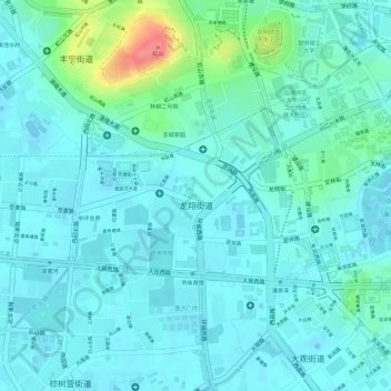
Name: 龙翔街道 topographic map, elevation, terrain.
Location: 龙翔街道, 五华区, 昆明市, 云南省, 中国 (25.04662 102.67788 25.05889 102.69733)
Average elevation: 6,250 ft
Minimum elevation: 6,198 ft
Maximum elevation: 6,457 ft
Other topographic maps
Click on a map to view its topography, its elevation and its terrain.