
金辰街道 topographic map
Interactive map
Click on the map to display elevation.
About this map
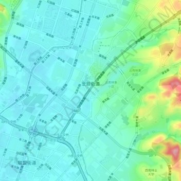
Name: 金辰街道 topographic map, elevation, terrain.
Location: 金辰街道, 盘龙区, 昆明市, 云南省, 中国 (25.06912 102.71916 25.10110 102.76981)
Average elevation: 6,293 ft
Minimum elevation: 6,204 ft
Maximum elevation: 6,611 ft
Other topographic maps
Click on a map to view its topography, its elevation and its terrain.