
阿旺镇 topographic map
Interactive map
Click on the map to display elevation.
About this map
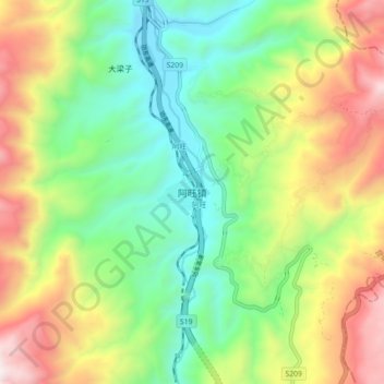
Name: 阿旺镇 topographic map, elevation, terrain.
Location: 阿旺镇, 昆明市, 云南省, 中国 (25.87998 103.21169 25.95998 103.29169)
Average elevation: 6,407 ft
Minimum elevation: 4,573 ft
Maximum elevation: 9,318 ft
Other topographic maps
Click on a map to view its topography, its elevation and its terrain.