
寻甸回族彝族自治县 topographic map
Interactive map
Click on the map to display elevation.
About this map
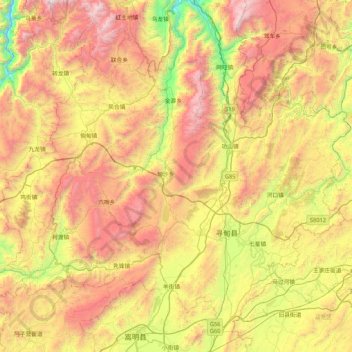
Name: 寻甸回族彝族自治县 topographic map, elevation, terrain.
Location: 寻甸回族彝族自治县, 昆明市, 云南省, 655200, 中国 (25.34337 102.70699 26.02036 103.55568)
Average elevation: 7,270 ft
Minimum elevation: 3,816 ft
Maximum elevation: 11,614 ft
Other topographic maps
Click on a map to view its topography, its elevation and its terrain.