
志丹县 topographic map
Interactive map
Click on the map to display elevation.
About this map
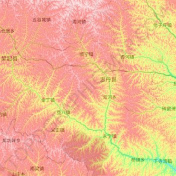
Name: 志丹县 topographic map, elevation, terrain.
Location: 志丹县, 延安市, 陕西省, 中国 (36.36228 108.19984 37.19648 109.05927)
Average elevation: 4,698 ft
Minimum elevation: 3,422 ft
Maximum elevation: 5,958 ft
Other topographic maps
Click on a map to view its topography, its elevation and its terrain.