
化子坪镇 topographic map
Interactive map
Click on the map to display elevation.
About this map
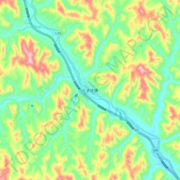
Name: 化子坪镇 topographic map, elevation, terrain.
Location: 化子坪镇, 延安市, 陕西省, 中国 (37.04132 109.04262 37.12132 109.12262)
Average elevation: 4,252 ft
Minimum elevation: 3,862 ft
Maximum elevation: 4,951 ft
Other topographic maps
Click on a map to view its topography, its elevation and its terrain.