
宜川县 topographic map
Interactive map
Click on the map to display elevation.
About this map
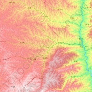
Name: 宜川县 topographic map, elevation, terrain.
Location: 宜川县, 延安市, 陕西省, 716200, 中国 (35.71321 109.70004 36.40316 110.54643)
Average elevation: 3,642 ft
Minimum elevation: 1,289 ft
Maximum elevation: 5,669 ft
Other topographic maps
Click on a map to view its topography, its elevation and its terrain.